
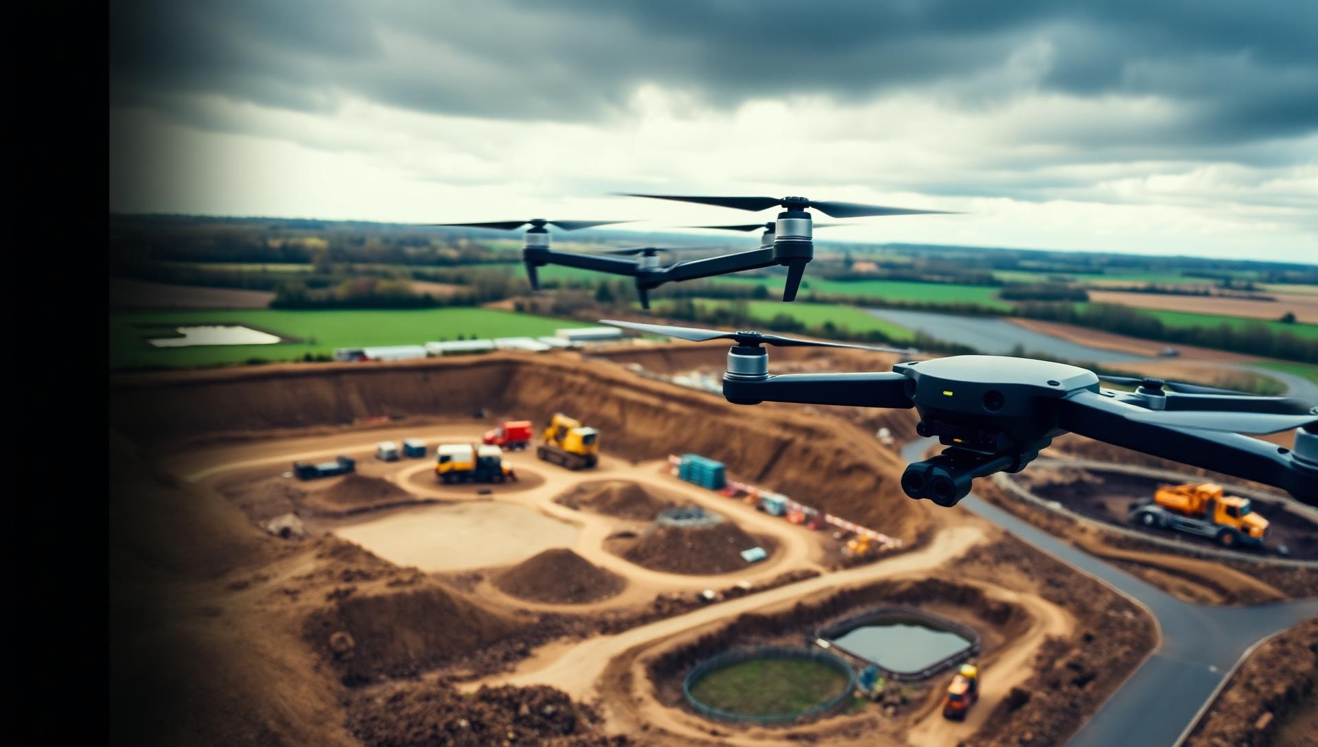
UK DRONE SURVEY SPECIALISTS
Drone Surveys For Groundworks, Construction, & Civil Engineering Projects
High-accuracy drone surveys, volumetric measurements and aerial mapping for civil engineering, groundworks and infrastructure projects across the UK.
Aerial Site Surveys For Every Stage Of Your Project
We deliver survey-grade aerial data for the sectors that build and maintain the UK's infrastructure — from early groundworks through to complex civil engineering programmes.
CONSTRUCTION INTELLIGENCE
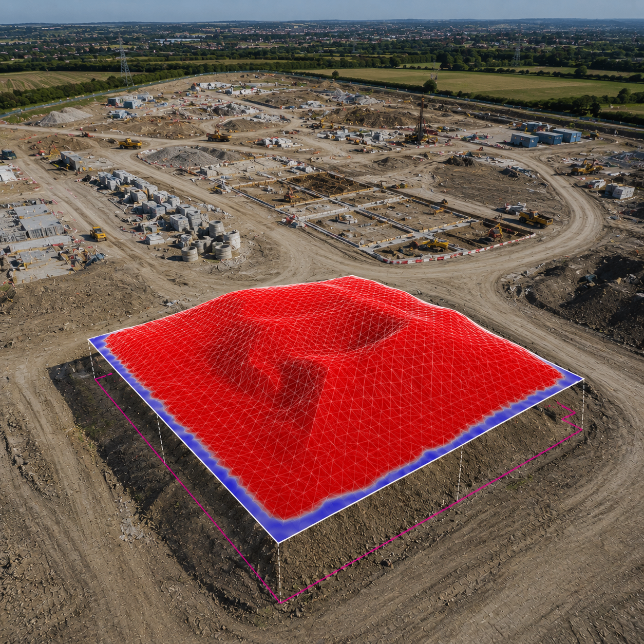
Construction Intelligence From Drone Surveys
Drone surveys provide far more than aerial imagery. They deliver accurate site information that helps project teams understand existing conditions, monitor activity and communicate progress more effectively.
- High-accuracy aerial data for active construction sites
- Progress tracking and visual reporting
- Stockpile and earthworks volume calculations
- Improved site visibility and stakeholder communication
- Better evidence for decisions and reduced risk
From initial capture to final reporting, we deliver reliable information that supports every stage of your project.
The Value Of AI Driven Aerial Site Surveys
Reliable data. Smarter decisions. Better project outcomes.
What Drone Surveys Deliver
Comprehensive aerial data and analysis to support every stage of your project.
Aerial Mapping & Orthomosaics
Create accurate site-wide visual records.
Learn moreTopographical Surveys
Detailed terrain information for planning and analysis.
Learn moreVolumetric Surveys & Cut & Fill
Measure stockpiles and calculate cut and fill quantities accurately.
Learn moreProgress Monitoring
Track project development over time.
Learn moreSite Inspections & Reporting
Review site conditions safely and efficiently.
Learn moreData Delivery & Integration
Receive information in formats that fit existing workflows.
Learn moreWhy Drone Surveys Improve Project Performance
The most successful projects rely on accurate information. Drone surveys help teams understand what is happening across a site without relying solely on manual inspections.
- Understand site conditions with up-to-date aerial information
- Verify quantities and reduce measurement disputes
- Monitor progress and compare against programme
- Improve reporting and stakeholder communication
- Make faster, data-driven decisions
Better information leads to better project outcomes.
Benefits Of Accurate Aerial Survey Data
Reliable drone surveys deliver more than just imagery — they deliver insight that drives results.
- Reduce risk and improve safety on site
- Save time and reduce the need for site visits
- Support commercial and contractual requirements
- Provide clear, defensible evidence
- Improve efficiency and productivity
Better data. Better visibility. Better decisions.
SPEAK TO A SPECIALIST
Prefer To Talk It Through? Call Our Survey Team Today
Skip the form — pick up the phone and speak directly to a specialist who understands civil engineering and groundworks projects. We'll answer your questions, scope your survey and provide a fixed, no-obligation quote in minutes.
Mon–Fri · 8am–6pm · UK Wide
A Simple Process From Survey To Insight
We make drone surveys straightforward, efficient and hassle-free.
- 1
Plan & Capture
We plan the survey and capture high-quality aerial data on site.
- 2
Process
Data is processed using specialist software to create accurate outputs.
- 3
Analyse
We analyse the data, calculate volumes and assess progress.
- 4
Report & Deliver
Clear reports and datasets delivered in your preferred format, on time.
Industries We Work With
Trusted by contractors and project teams across civil engineering and infrastructure.
Civil Engineering
Roads, bridges, drainage and major infrastructure.
Groundworks
Excavation, foundations, substructures and enabling works.
Infrastructure
Large-scale infrastructure projects requiring monitoring and data.
Highways
Road improvements, junctions and transport infrastructure.
Utilities
Water, power, telecoms and other utility projects.
GET IN TOUCH
Let's Discuss Your Project
Whether you require a one-off drone survey or ongoing project reporting, we're here to help.
Frequently Asked Questions
Drone survey costs typically start from around £600 for a small single-visit site survey and scale with site size, complexity, deliverables and travel. Progress monitoring and multi-visit programmes are quoted per project. Every quote we issue is fixed, itemised and no obligation, so you know exactly what is included before any work begins on your site.